In my last blog, I talked about TorchSeg, a PyTorch open source developed by my master’s lab, namely: The State-Level key Laboratory of Multispectral Signal Processing in Huazhong University of Science and Technology.
Today, I’m going to introduce professional drones developed by a start-up company ZR3D, which is spinned-out from my bachelor’s department, namely: School of Remote Sensing and Information Engineering in Wuhan University. By the way, The State key Laboratory of Information Engineering in Surveying, Mapping and Remote Sensing in Wuhan University is specialized in Tilt photogrammetry.
OK, now it’s the time to show some of ZR3D‘s products.
Outdoor Work
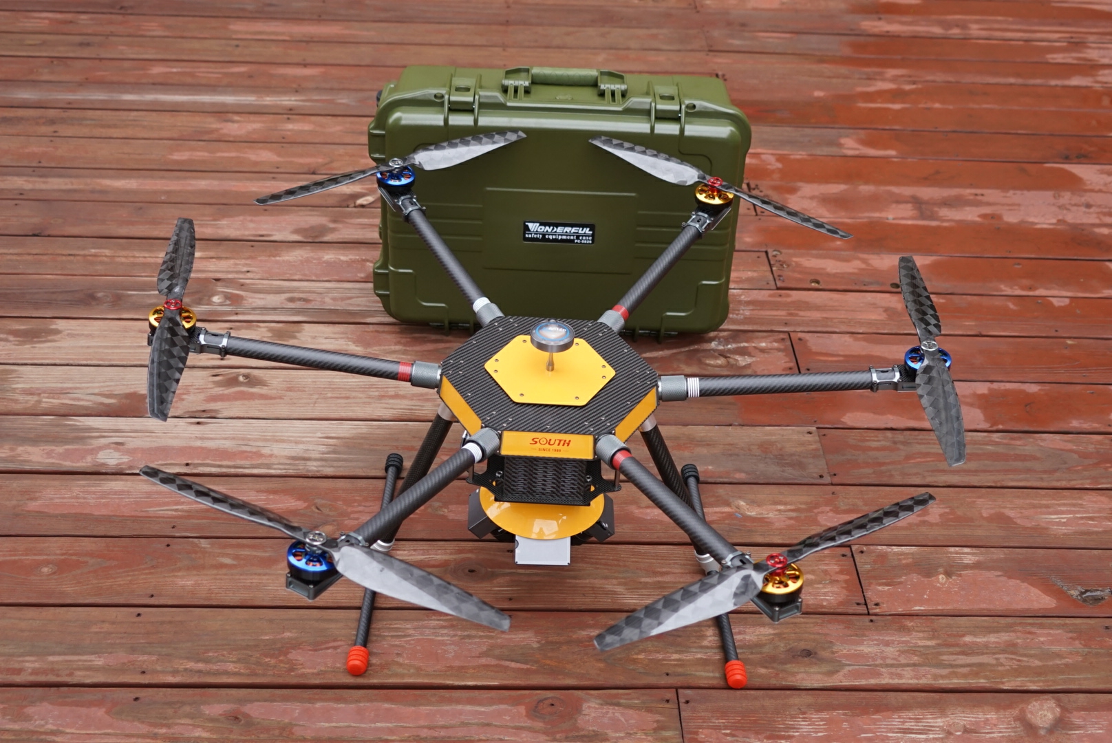
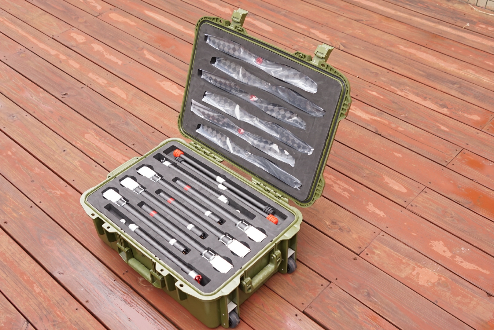
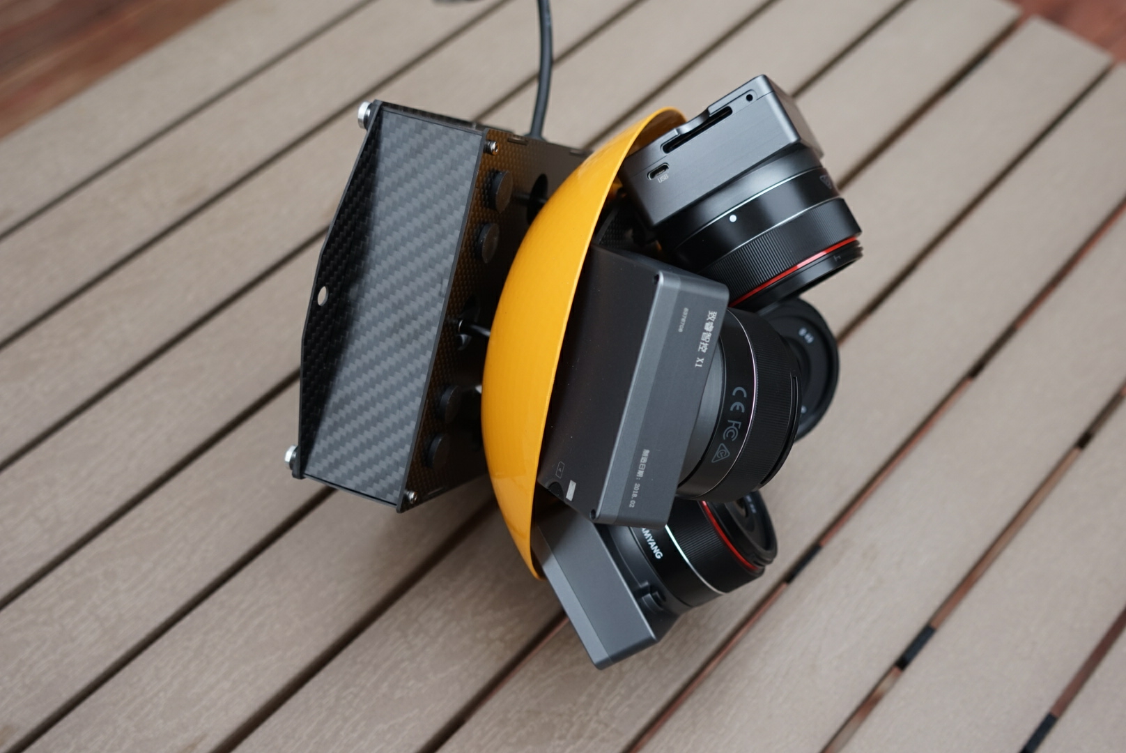
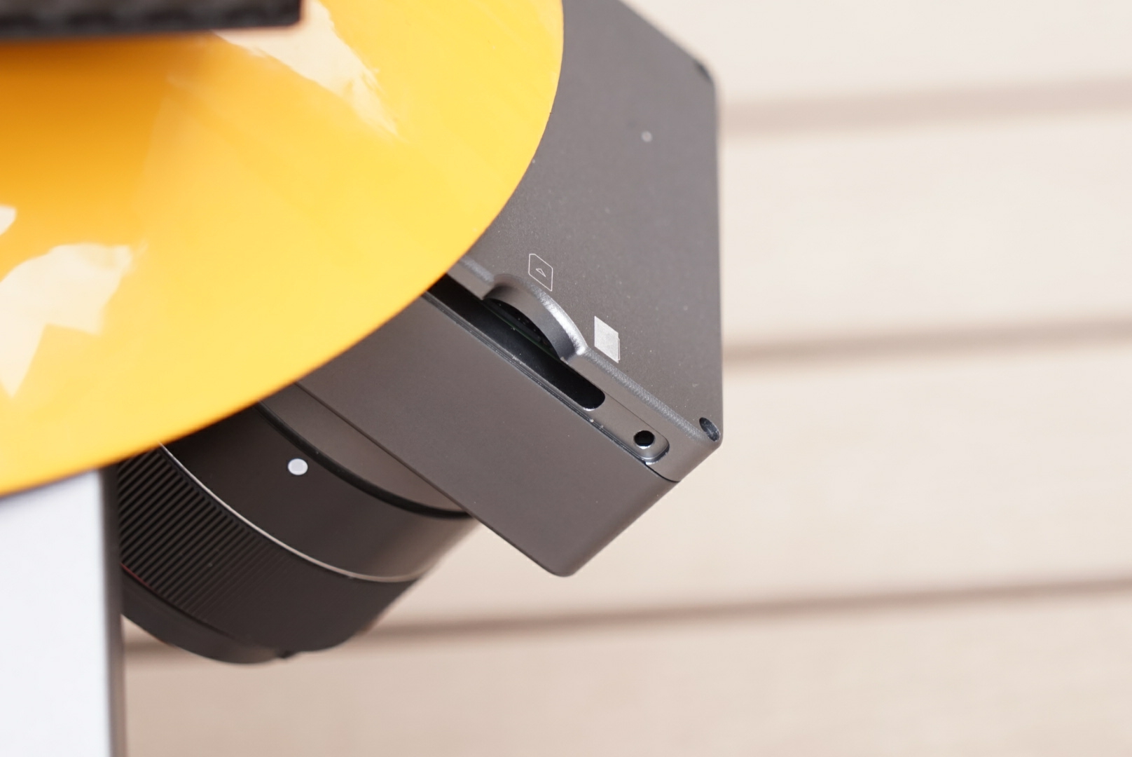
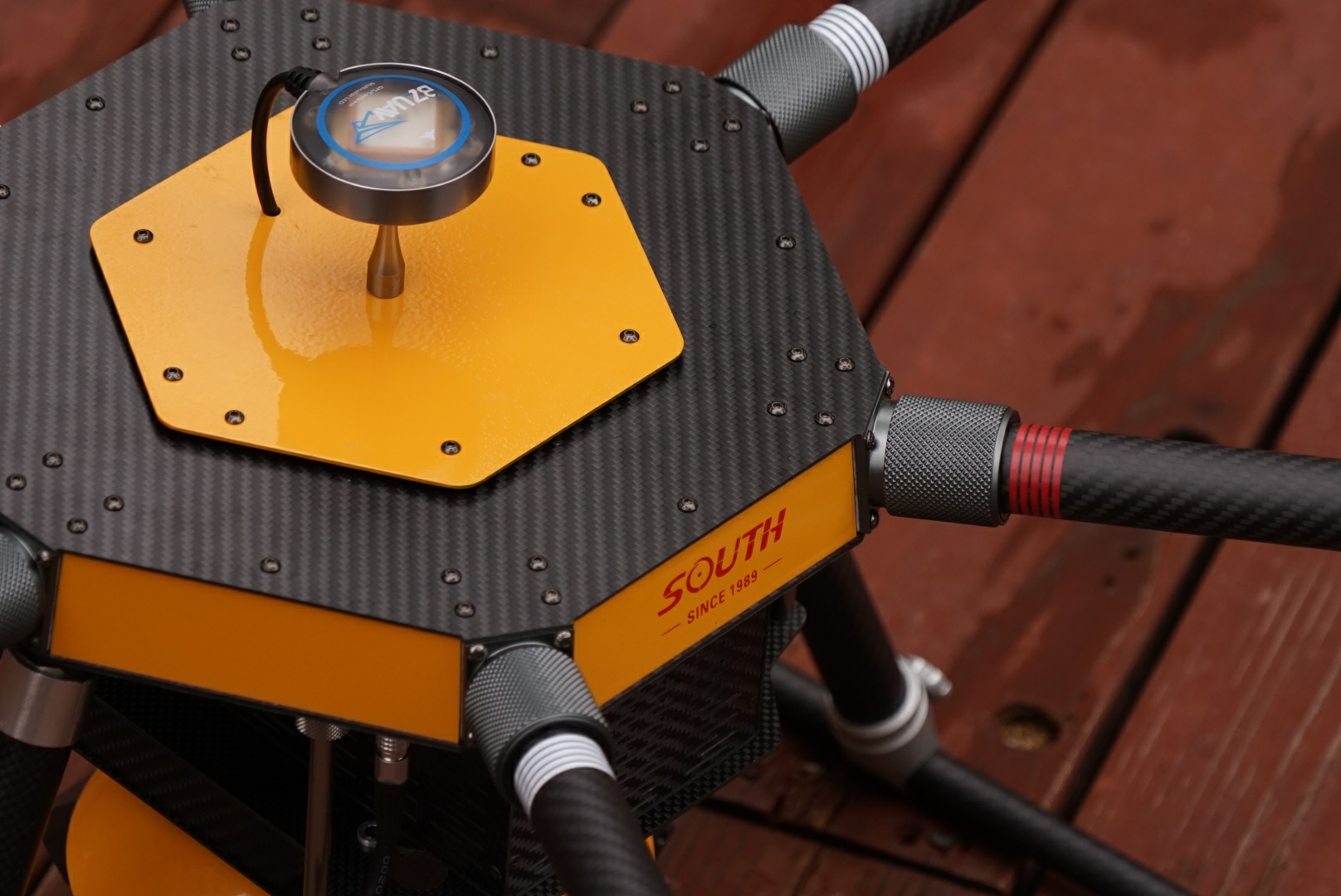
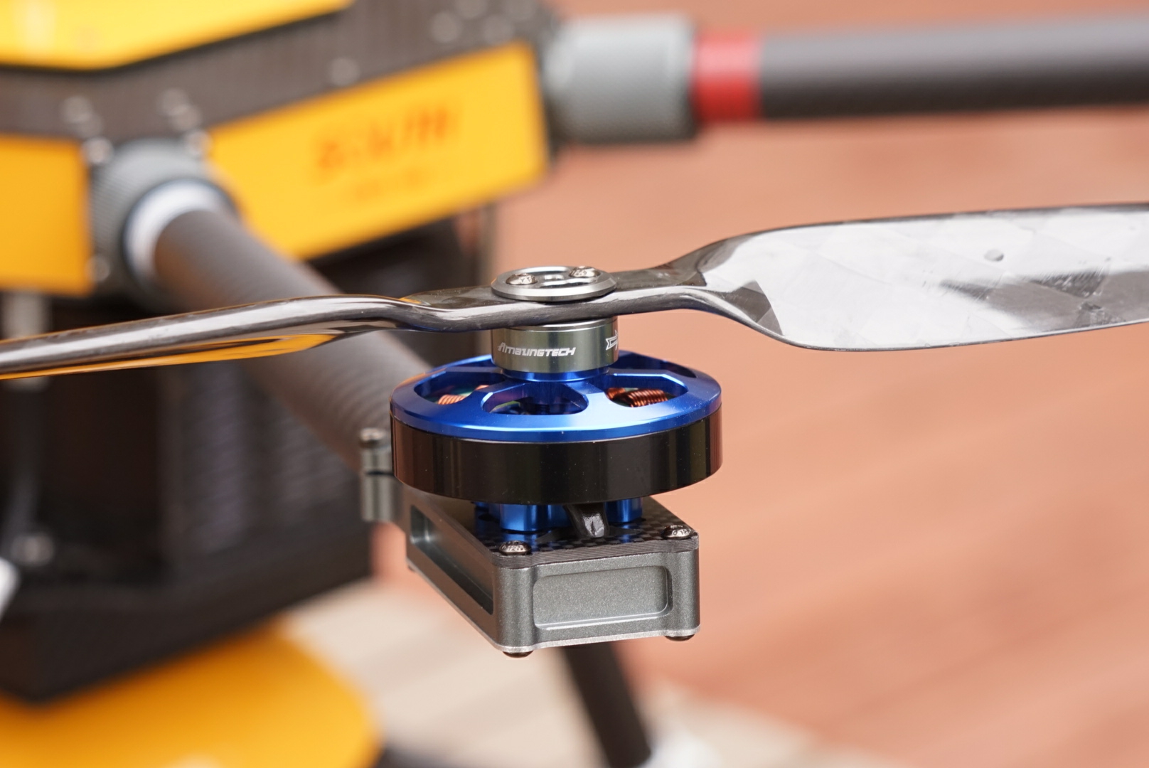
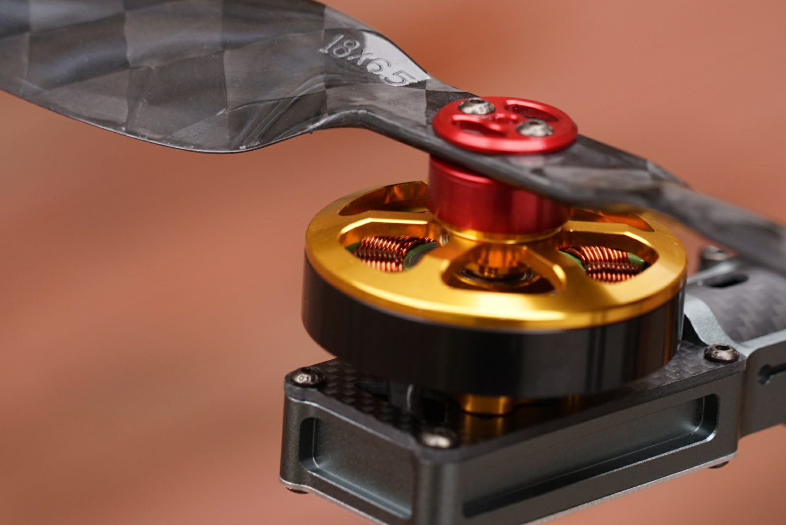
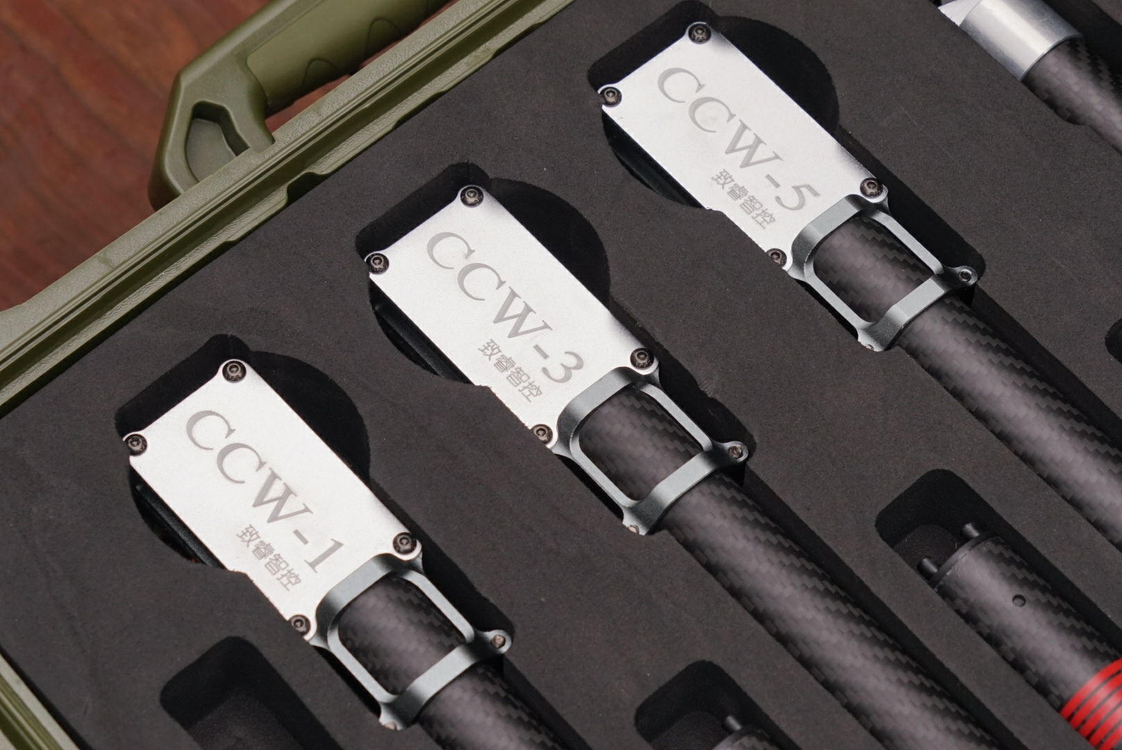
The Drone
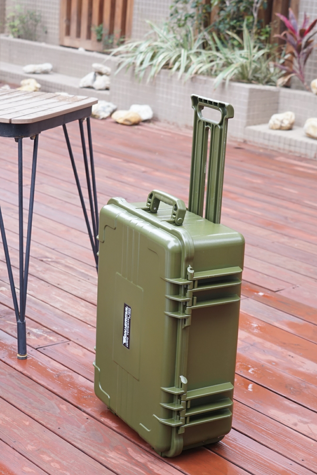
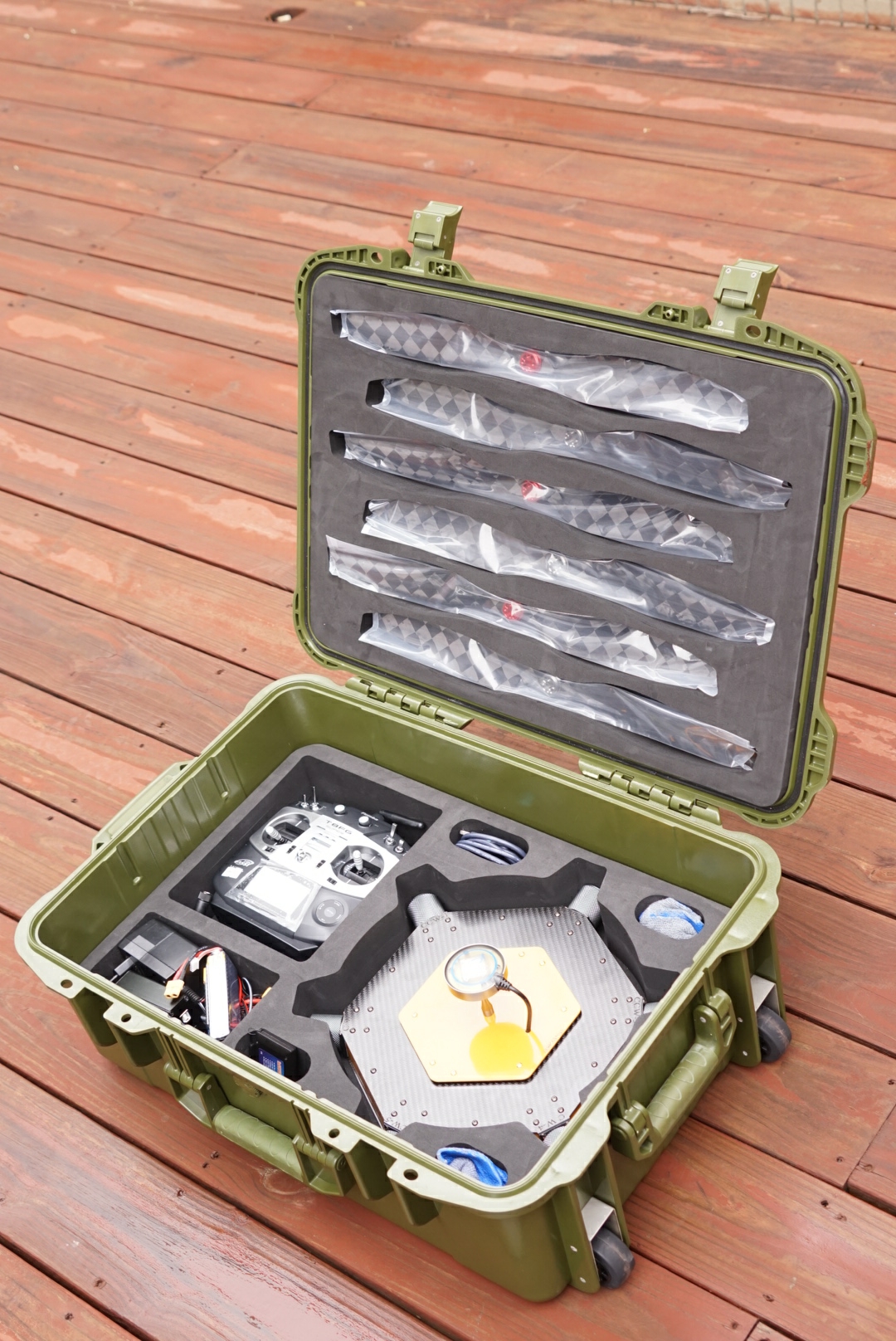
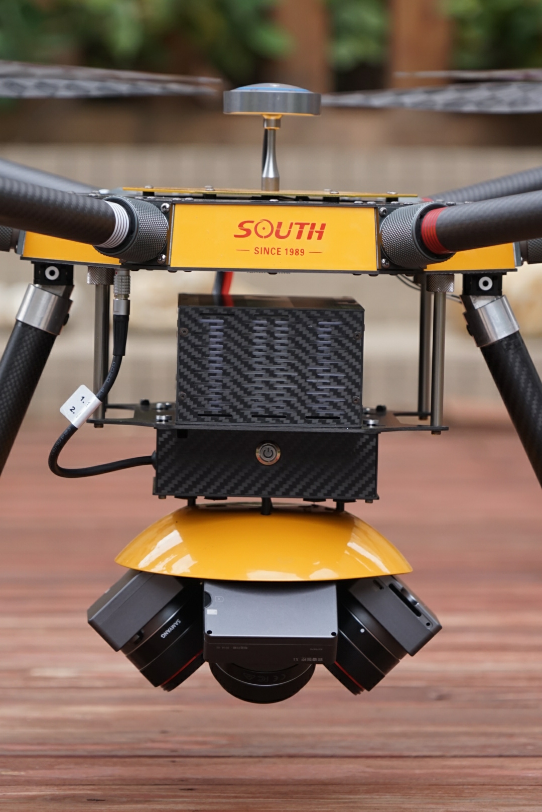
Outdoor video capturing can be stably done by ZR3D drones. In the following, we show some pictures of an OEMed drone manufactured/assembled by ZR3D.
| ZR3D | South Survey | Longer Vision |
|---|---|---|
 |
 |
 |
|
 |
 |
 |
 |
 |
 |
 |
 |
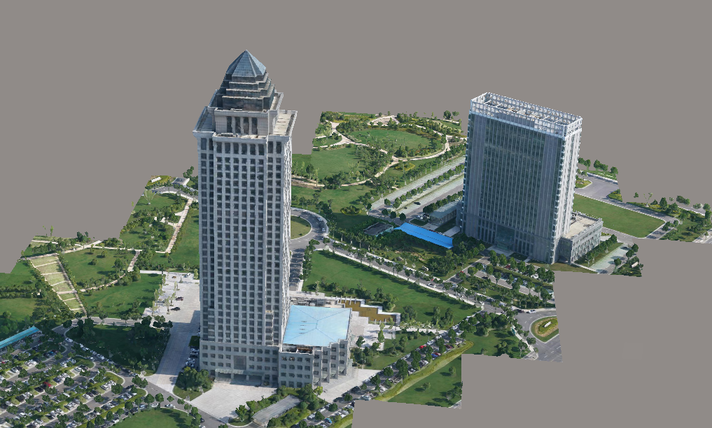
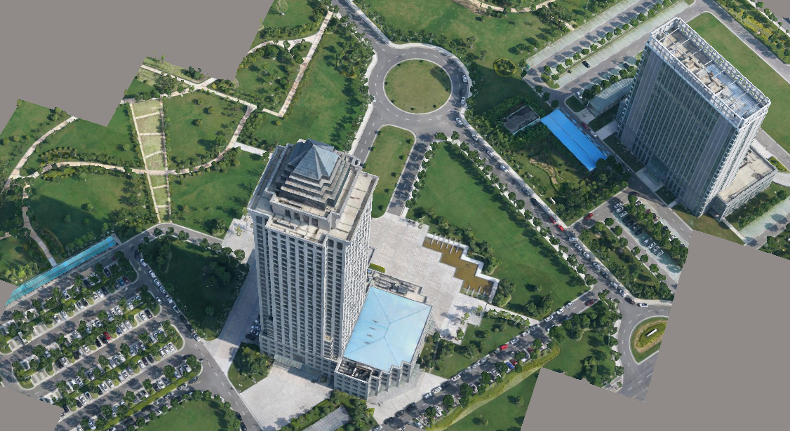
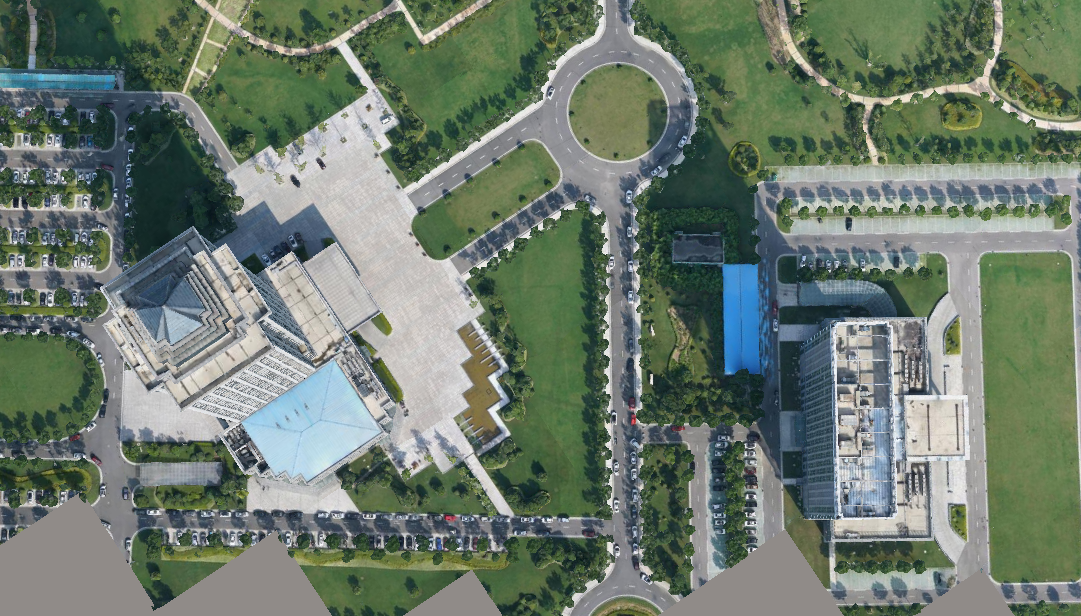
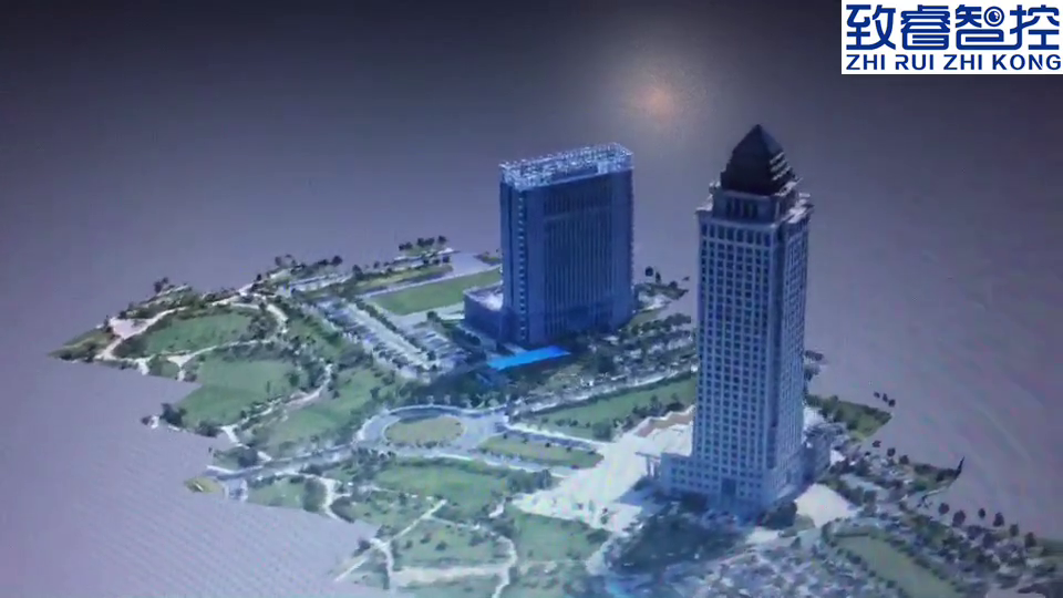
Captured Sample Images For Some Scenary
| Side View | Half Side View | Top View |
|---|---|---|
 |
 |
 |
Indoor Work
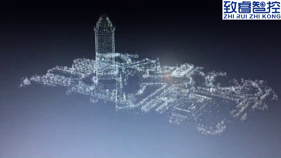
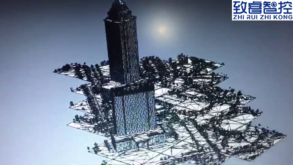
Indoor surveying & mapping is done by a cluster of servers, namely, on a small cloud. Currently, we are still dockerizing our own SDK.
Three videos are used to briefly explain the MOST important three steps of indoor surveying & mapping, as shown:
| Point Cloud | Meshlized | Texturized |
|---|---|---|
 |
 |
 |
PX4 Autopilot Software
Popular open source drone firmwares and websites that I’ve been testing are briefly listed in the following: